
Traffic Calming of Carlton Road (between Kennedy Road and McCowan Road)
Updated as of October 14, 2025
The City of Markham is the fourth largest municipality in the Greater Toronto Area with 353,000 residents. The City has seen rapid population growth in recent years and is anticipating a continuation of this trend. This growth presents the City with a set of issues and challenges for the transportation network.
Background
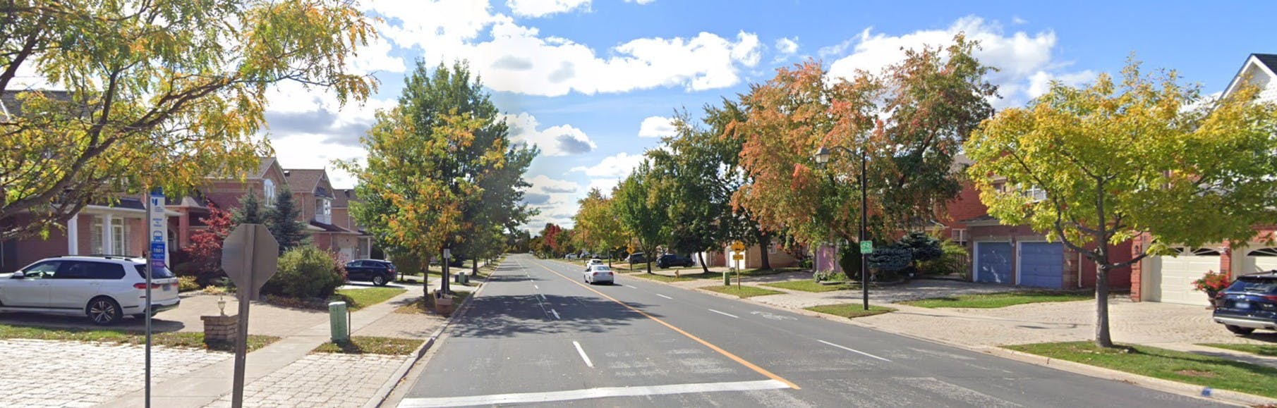
Carlton Road, between Kennedy Road and McCowan Road, is a four-lane undivided collector road with sidewalks on both sides of the road. The posted speed limit is 40 km/h and is designated as a shared cycling route. The land use along this road is primarily residential with some commercial, recreational, and institutional uses. The major trip generators on this corridor are the Markville Secondary School, York Regional Police Headquarters (District 5) at the eastern end; Bridle Trail Baptist Church and some commercial establishments are located at the western end. Carlton Road provides direct access to the properties located along the road.
Residents have expressed traffic safety concerns within this subject portion of Carlton Road, with a need for traffic calming measures and additional pedestrian crossings. Speeding drivers and high traffic volumes have created an uncomfortable environment for residents and visitors of the area, particularly families with young children, walking or cycling in the area.
Although the posted speed limit is 40 km/h at this section, the actual operating speed is in the range of 50 to 60 km/h. Between 2015 and mid-2023, a total of 27 collisions occurred throughout the corridor with a frequency of approximately three (3) collisions per year. No fatal injuries occurred along the corridor during the analysis period; however, given the number of collisions there demonstrates a need to address existing problems and concerns for all road users.
Within the corridor, the Carlton Road and Central Park Drive Intersection is well used by students at Markville Secondary School. The current configuration of the intersection is as an all-way stop. The City has received several requests that the intersection should be signalized to protect the safety of school students and those using Central Park Drive to the north. As such, new traffic signals will be provided at Carlton Road and Central Park Drive Intersection. Traffic signals were warranted in accordance with justification criteria outlined in Ontario Traffic Manual (OTM) – Book 12 (traffic signals), and will be designed based on established industry best practices.

Project Objective
The main objectives of this project are to:
- Identify traffic operational safety concerns along the corridor;
- reduce vehicle speeds and traffic volume through traffic calming strategies;
- maintain access and mobility for all;
- enhance safety for pedestrians and cyclists;
- improve overall community safety for those living in and visiting the City;
- receive public input on existing conditions and recommendations; and
- implement the Preferred Option.
Get Involved
We value your input in the development of effective traffic calming measures and ensuring the safety of those using Carlton Road. Two (2) Public Information Centres (PIC) will be held over the course of the project. PIC #1 was held on Tuesday, February 6, 2024 at the Crosby Memorial Community Centre with 28 attendees. The PIC was presented in an open house format providing an overview of existing conditions, range of traffic calming measures, alternative traffic calming options being considered for Carlton Road and project next steps.
A combination of Options 1 and 2 (see below) was presented as the Recommended Preferred Conceptual Design. Between Waterbridge Lane and Manhattan Drive, Option 1 is proposed with a 2-lane cross section, protected bike lanes in each direction, and on-street parking on one side. Between Manhattan Drive and Mansfield Lane, Option 2 is proposed with a 3-lane cross section consisting of a single through-lane per direction, a 2-way centre left-turn lane with left turn lane treatment at selected intersections, and protected bike lanes in each direction.
Following review of public comments received at PIC #1 and further study of this section of Carlton Road, the Recommended Preferred Conceptual Design remains a combination of Options 1 and 2 but with refinements to the limits of where each applies. Option 1 is now proposed to be applied approximately from Loring Crescent (East) to Fawnbrook Circle and Option 2 to be applied from about Fawnbrook Circle to Central Park Drive. Regional road intersections will not be affected, including approaches to the intersections.


Other Ways to Get Involved
- Stay updated: Save this website to your browser favourites.
- Provide your feedback: Contact the Project Manager listed on the sidebar and provide your feedback or ask questions you may have regarding the project.
References / Links to Supporting Information
- City of Markham Traffic Safety Information: www.markham.ca/traffic
- Canadian Guide to Traffic Calming, 2018: https://www.tac-atc.ca/en/publications/ptm-trafcalm18-e
- FHWA Road Diet Informational Guide, 2014: https://highways.dot.gov/safety/other/road-diets/road-diet-informational-guide
- City of Markham Active Transportation Master Plan, 2021: https://www.markham.ca/wps/portal/home/neighbourhood-services/walking-and-cycling/master-plan-and-studies/activetransportationmasterplan_2021
-
 Notice of PIC #1 (252 KB) (pdf)
-
PIC #1 Presentation Boards (2.26 MB) (pdf)
-
PIC #1 Public Feedback Summary (5.59 MB) (pdf)
-
Notice of PIC #2 (274 KB) (pdf)
-
PIC #2 Presentation Boards (1.29 MB) (pdf)
-
Preferred Design (preliminary) (27.8 MB) (pdf)
-
PIC #2 Public Feedback Summary (7.4 MB) (pdf)
-
June 26 2024 Council Report
