
Unionville Special Policy Area Boundary Update
Project Update: York Region Approval - July 2023
York Region staff have approved the Official Plan Amendment in July 2023. The updated Special Policy Area boundaries are now in force and effect. For a copy of the approved Official Plan Amendment or Zoning By-law Amendment, please contact the Development Front Counter at dsc@markham.ca.
The City of Markham is updating the Unionville Special Policy Area Boundary. On this page, you will find more information about this project and ways to provide your feedback.
Background Information
What is a Special Policy Area?
In Ontario, a Special Policy Area (SPA) is a tool used to recognize historic communities that were developed within a flood plain. A Special Policy Area provides site-specific policies to support the continued viability of existing and approved land uses in the flood plain. These site-specific policies provide for more flexibility and certain development permissions are permitted that would otherwise be prohibited.
The Unionville Special Policy Area was established in 1990 to recognize historic development within the flood plain. The current boundary of the Unionville Special Policy Area is identified on Map 8 of the Markham Official Plan.
Why is the City updating the Unionville Special Policy Area boundary?
In 2019, the Toronto and Region Conservation Authority (TRCA) updated the flood plain boundaries in the Unionville area. The flood plain update reflects the latest conditions including topography, land use, bridge/culverts and upstream development. As a result, some lands have been added to the flood plain while other lands have been removed. The City's update will:
- Remove SPA lands that are no longer within the flood plain
- Review existing SPA lands and confirm if they should remain within the SPA
- Review lands added to the flood plain and determine whether they should be added to the SPA
How will the new Unionville Special Policy Area boundary be determined?
The City and TRCA will review all lands within the flood plain to determine if they should remain or be added to the current Unionville Special Policy Area. Staff will be considering the following criteria when determining the draft SPA boundary:
- Lands that are no longer within the flood plain.
- Publicly-owned lands that are intended for parks or conservation uses.
- Development and re-development permissions under the current Official Plan and Zoning By-laws.
- Location of flood plain on the property.
- Level of risk related to flood and/or valley erosion hazards.
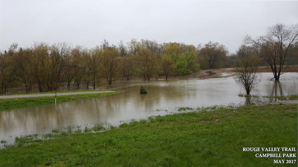
Is my property within the flood plain?
The 2019 floodplain maps can be downloaded under the 'Documents' tab or by clicking on the image below. There are three flood plain maps: Unionville North of Hwy 7; Unionville South of Hwy 7; Markville / South Unionville. If you require this map in an alternative format, please contact staff.

These maps are provided for information purposes only. For property transactions or legal purposes, a formal letter and confirmation should be requested from the Toronto and Region Conservation Authority (Planning & Development Services).
Questions and Comments
Additional information is provided under the Frequently Asked Questions (FAQs) located on the right hand side of the screen.
The TRCA has also prepared a digital handbook with information specific to Unionville to help you understand and prepare for flooding. Visit https://trca.ca/flood-risk-unionville to learn more.
If you have further questions or would like to provide comments on this project, please contact the City staff who are leading this project directly by e-mail. Their contact information is available under the 'Who's Listening' section.
Updates
September 18, 2020 - The powerpoint presentation for the September 17th Community Information Meeting has been uploaded. It can be downloaded through the Documents tab on the right hand side of the screen.
September 28, 2020 - The summary of the Community Information Meeting has been uploaded and can be downloaded by clicking on the Documents tab.
October 18, 2021 - Draft Official Plan and Zoning By-law Amendments are now available to be downloaded by clicking on the Documents tab. The statutory public meeting will be held on November 16, 2021.
June 2022 - Markham Council endorsed the updated Special Policy Area boundaries.
May 2023 - The Minister of Municipal Affairs and Housing provided approval for the updated SPA boundaries.
June 2023 - Markham Council adopted the implementing Official Plan Amendment and passed the Zoning by-law amendment.
July 2023 - York Region staff approved the Official Plan Amendment.
Who's Listening
-
Project Planner
Email patrickwong@markham.ca


